
By Robin Hartman
In early February, after heavy rains triggered a mudslide in Pike County that derailed a CSX train, partially plunging it into the Big Sandy River, the Kentucky Energy and Environment Cabinet’s Emergency Response Team (ERT) was dispatched to the scene.
The river was flowing so fast that monitoring conditions by boat would have potentially endangered ERT members, said Belle Thomas, an environmental scientist with the Division of Waste Management.
“But the drone could be used to get a good view of things and provide the video feed to decision-makers,” Thomas, a drone pilot, said. “…Using a drone, we’re able to get a much better assessment of situations from the air, in a fraction of the time and keep our employees out of harm’s way.”
Once seen by the public as a nuisance or a hobbyist obsession, drones have become an essential work tool within the Energy and Environment Cabinet (EEC).
“Drones aren’t seen as the evil spy tool they used to be,” said Glen Anderson, transportation engineer specialist with the Kentucky Department of Aviation, who was among the first to use drones in state government in 2015.
In just a few years, EEC’s drone team has grown to 15 certified pilots who maintain an equal number of drones with differing capabilities. One high-altitude performance drone, built in-house, is equipped with air-monitoring equipment. EEC also hosts a multi-agency UAV users group, which comes together monthly to share lessons and support each other, and hosts a national drone conference that has been so popular it’s become a twice-a-year event.
“Today, EEC is held up as the poster child for using drones effectively,” Anderson said. “They’re really leading the state by using drones in their everyday work.”
Prioritizing Worker Safety
Safe access can be a challenge for the Division of Abandoned Mine Lands (AML) when it assesses an abandoned mine in the mountains of eastern Kentucky, evaluates the condition of water left in a mine pit, or tracks the extent of a mud slide. For AML employees, drones have become a reliable and essential tool.
“We’ve been able to fly over and get vertical shots of a mine, create 3-D maps and from that, develop a comprehensive design plan for stabilization or restoration,” said AML environmental scientist Ben Enzweiler.
The division has tracked the progress of black water along embankments and into area waterways, the result of a breach of a coal processing plant’s refuse impoundment. Regular monitoring and inspection of those ponds, sometimes acres in size, can be a challenge and a health concern when content is unknown. But creative thinking and ingenious rigging of the drones have allowed water sampling and depth analysis to take place with little or no human contact with the water.
With the advancements in drone technology, it was also just a matter of time before they became integrated into the Division of Forestry’s wildland fire suppression activities, said Assistant Fire Management Chief Michael Froelich.
A drone recently was used to monitor the perimeter of a large fire in Perry County. At one point, a column of smoke appeared to be outside of an area where crews had contained the fire earlier the day. The drone was quickly deployed and it was determined that the fire was in fact burning inside of the containment lines.
“Without the drone, a firefighter would have had to hike out to the area, walk the fire line, and then report back,” Froelich said. “Instead, it took less than five minutes,” Froelich said.
Improving Data
Drones, coupled with software like DroneDeploy or Pix4D, and mapping tools like Google, have allowed the Cabinet to improve the quality of data gathered, which has translated into more informed decision-making.
“Today’s drone technology allows us to obtain a wealth of data previously unavailable, and allows us to obtain that data in short order,” said Wesley Turner, geoprocessing specialist with the Division of Water.

In March, Turner’s team conducted the cabinet’s first bathymetric pilot project at Curtis Crum Reservoir in Martin County. The reservoir, built in 1969, is a primary source of water for area residents, but exact capacity has been hard to determine. Using an aerial drone, along with GIS software, the team mapped the ridgeline of the reservoir and the elevation of the water surface. An unmanned surface catamaran, or “drone boat” equipped with an echo sounder, then measured the depth of the reservoir and mapped its underwater features.
The bathymetric analysis has provided a much more accurate picture of the available water supply in Curtis Crum Reservoir, which can help officials provide reliable water service to local homes and businesses.
Drone-facilitated aerial photography and the data that can be extracted from the images have also been important in assessing sites and monitoring the progress of ongoing projects.
The Division of Waste Management is in the process of having drones document every landfill in the state. Use of the drones can provide a more informed view of an open dump or landfill, as opposed to what can be seen on foot.
“It’s a lot easier to see leachate or other issues from the air,” Thomas said.
Area, volume and distance can all be measured from the sky to determine the size of a dump, or even estimate the number of tires in a waste pile, Thomas said.
Exploring Future Uses
The Cabinet continues to explore new applications for drone functionality.
Plans include investing in a drone equipped with infrared sensors or thermal cameras. Such technology could be used for detecting harmful algal blooms, identifying leachate outbreaks at landfills, delineating wetlands, monitoring vegetative health and identifying plants that may be stressed from drought or other factors.
“I think we could better identify springs and seeps into water bodies and karst environments, monitor leaks in dams, and watch for drought conditions,” said Turner. “But, even without the added equipment, we can still greatly increase our capabilities just because we can get a bird’s eye view of the area which we can’t get on the ground.”
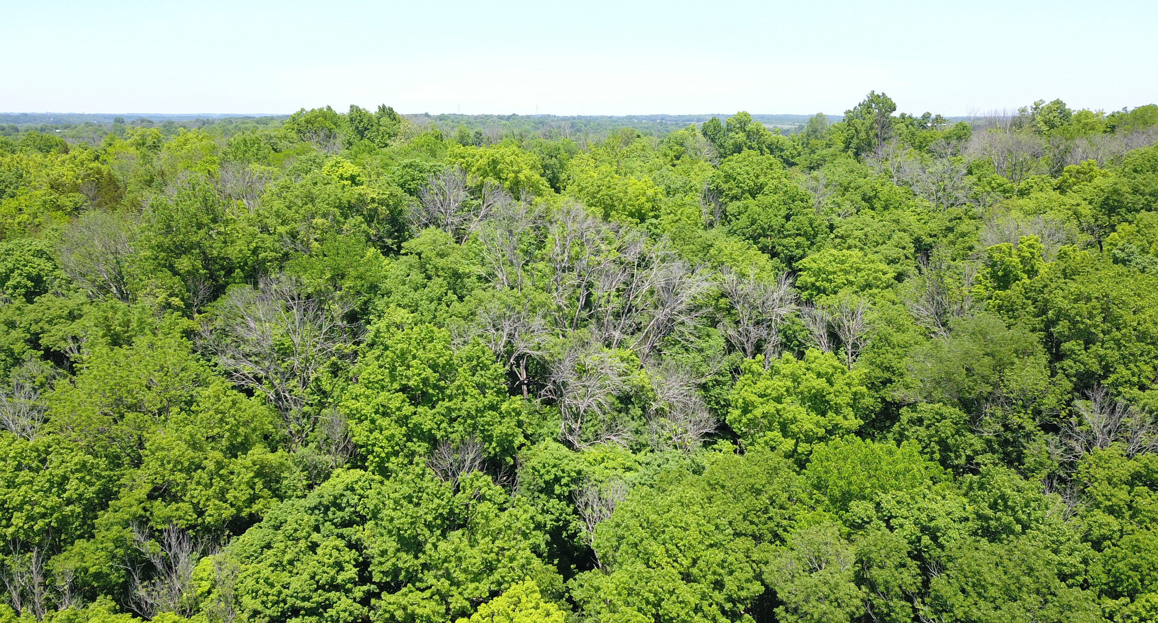
Kentucky’s Division of Forestry is exploring possible uses of drones beyond wildfire management, which could include monitoring invasive species like the Tree of Heaven and surveying the condition of species like the hemlock, a native tree being attacked by an invasive insect, the hemlock woolly adelgid.
“Instead of hiking up a steep drainage, we could fly the drone to do a quick aerial survey of how healthy the hemlocks are to decide if chemical treatment is needed,” said Abe Nielsen, environmental control supervisor with the division. Another of the division’s programs, the Timber Harvest Compliance Program, may also begin using drones to complete inspections of logging operations.
The possibilities are endless, Anderson said.
“When I first started working, we were using Polaroid cameras, and then we advanced to the digital camera,” Anderson said. “Pretty soon, instead of pulling out our phone, we’ll pull out our drone!”
Categories: All, Innovation


Finally a good use for a drone. Just the way it should he used.
LikeLike
interesting
Field Inspection Audit Software In Pakistan
Field Inspection Audit Services In Pakistan
LikeLike
I really enjoyed this post you really write a good blog.
Field Inspection Audit Services In Pakistan
Field Inspection Audit System In Pakistan
LikeLike